
 Zoom Meeting #38, 16th March 2026.
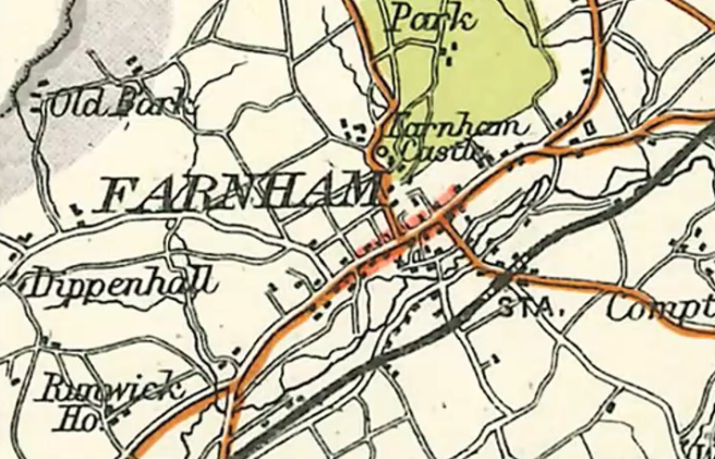
Tribute to Rail 200, Railway Mapping of Scotland.
- Presenters: Stuart Dennison & Gilbert McCaul
- Format: Structured talk, followed by questions & answers
- Attendees: 37
- View the recording here, streaming length: 1h 41m
Following the CCS tribute to Rail 200 for England and Wales, time to turn north of the border and explore the rich heritage of railway mapping of Scotland. Starting with a line opening in 1722 followed by mapping of waggonways, the development of the network of lines, Scottish railways at their zenith and terminating in 2025 perhaps it should be Rail 300!
Including OS mapping, historic non OS productions, company maps, Railway Clearing House maps, tourist maps, and a good variety of other mapping of lines built and some which never saw the light of day. There is even a Stephenson connection as a nod to the Rail 200 theme!
 Zoom Meeting #37, 12th January 2026.
Bartholomew's Half Inch Maps of England & Wales.
What the plates can tell us about the maps (and vice-versa).
- Presenter: Dr. Rob Wheeler
- Format: Structured talk, followed by questions & answers
- Attendees: 49
- View the recording here, streaming length: 1h 18m
Having realised the importance of patching (see article in Sheetlines 134, page 34) Dr. Rob Wheeler started looking at the early history of the series and how the printed sheets relate to the plates. He believes the results are instructive. The talk explains how a country on one projection - Scotland - can be joined to one on another projection - England - or perhaps how it ought not to be done.