
To advertise on this page contact info@charlesclosesociety.org. To respond to one, contact the advertiser directly via email using the link in the ad. Adverts posted here will have a shelf-life of one year, after which they will be removed, or can be updated as needed.
Updated 11th July 2026
FREE TO A GOOD HOME, FLAT OS MAPS 1940-70s. (added 11th July 2026)
We have a small collection of flat maps that are available free to a good home, with only the cost of postage required to secure.
See the list of maps here as a PDF.
If you are interest in any of the maps, please contact Patricia Williams by email to arrange postage & costs. She is based in south east London should collection be a possibility for you.
MAPPING BOOKS FOR SALE (updated 17th June 2026)
For sale as one bundle £50 plus postage.
- Map of the Nation by Rachel Hewitt, 2010.
- A History of the Ordnance Survey edited by W A Seymour, 1980.
- OS Map Makers of Britain since 1791, 1992.
- OS a descriptive Manual by J B Harley, 1975.
- A description of Small scale maps, 1947.
- A description of Medium scale maps, 1949.
- A description of Large scale plans, 1947.
If you are interested in any of these items please contact John Wilks by email.
BOOKS, PAMPHLETS, INDEXES & MAPS FOR SALE (added 30th April 2026)
A member has some books, pamphlets, indexes and maps for sale, please see the full list here.
The main aim is that items will go to a good home, rather than re-cycling. Best offer received by 30th June 2026 will secure items. Postage will be charged at cost. After 30th June, any remaining items will be available until 30th July for cost of postage only.
Earlier expressions of interest encouraged. For more information or to make an offer contact David Forrest.
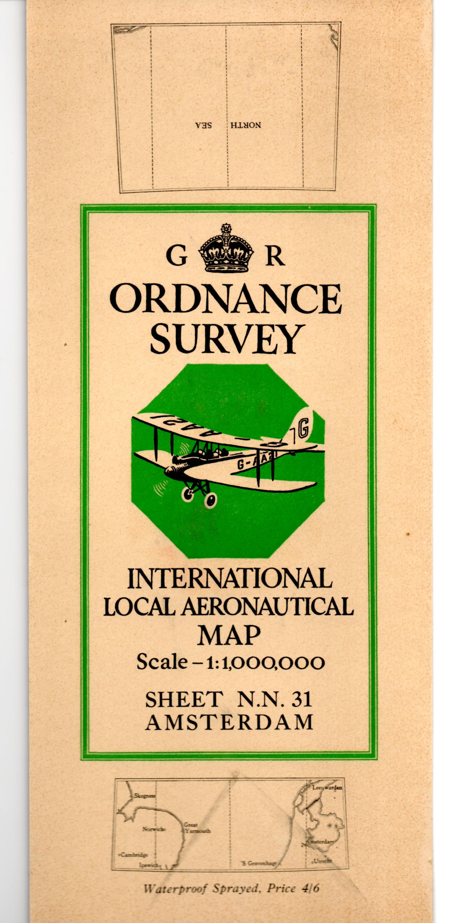 RARE OS MAP COVER WANTED (added 11th February 2026)
1:1,000,000 International Local Aeronautical Map(s). Any example from the list below:
- N.M.30 London (1939)
- N.N.30 Edinburgh (1939)
- N.N.31 Amsterdam (1937)
These are folded into H.19.2 green octagon covers, see image to the right.
Cash purchase preferred but many interesting exchanges possible. Contact Peter S. Gibson by email if you have a copy and would be willing to sell or exchange.
COMPLETE MAP SERIES' FOR SALE. (updated 15th January 2026)
A member has some complete map series for sale, details are below, prices do not include postage. Collection from Bridgwater Somerset is welcomed if practical, otherwise it's the Royal Mail.
| 1. | 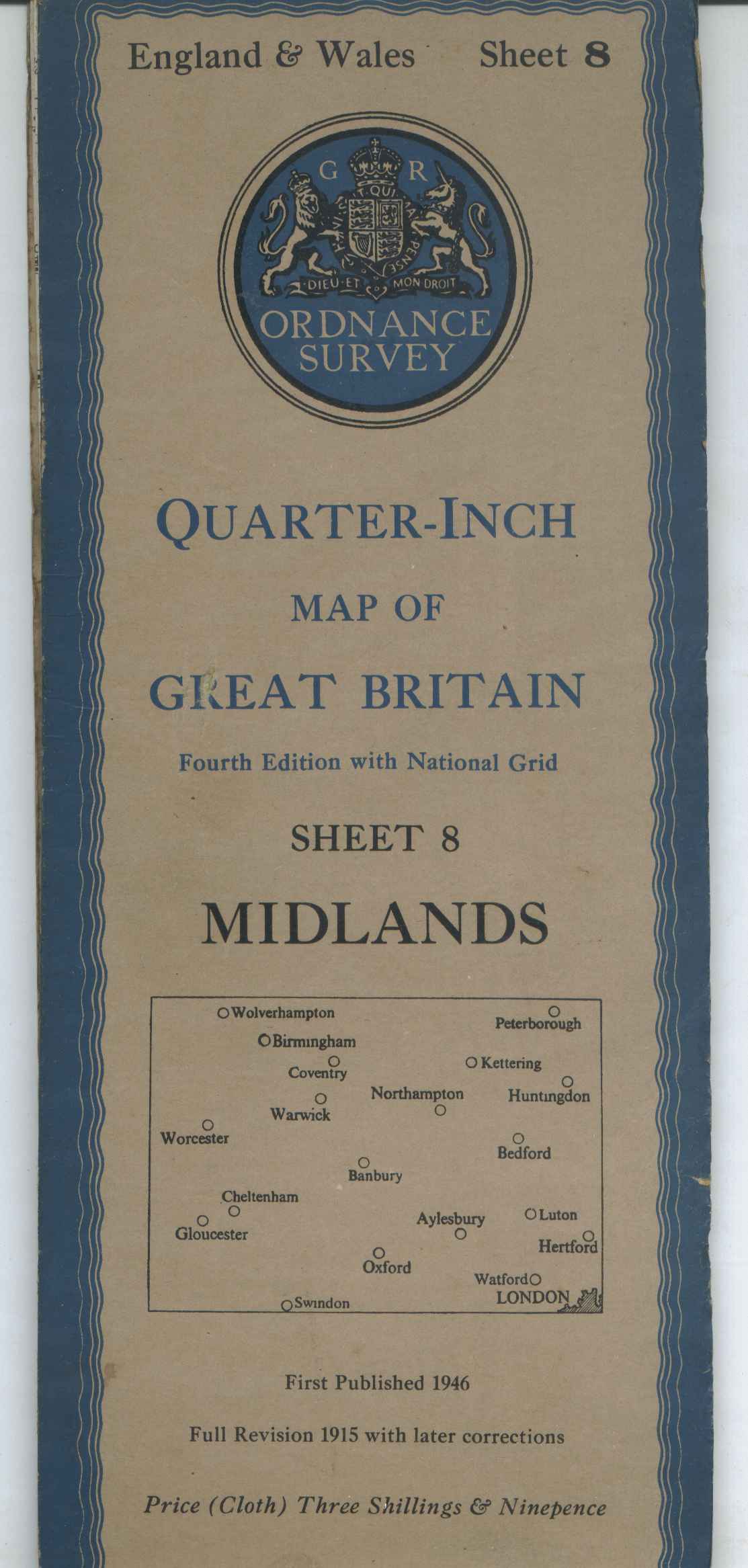 | All 11 sheets of the England & Wales post WWII 4th edition Quarter inch maps in the blue H96 covers. Six maps on cloth, five on paper all in card covers. All in good condition with the odd tear to a cover. £20 ex postage. |
| 2. | 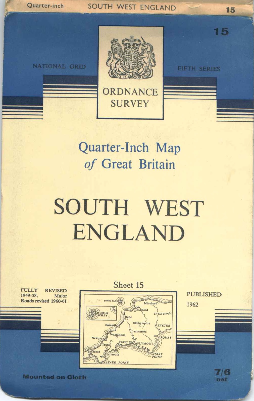 | All 17 sheets of the quarter inch 1:250,000 5th series maps in early blue/white/cream H99.3 benderfold covers. Some maps on cloth, others on paper, all in good condition. £15 ex postage. |
| 3. |  | All 17 sheets of the quarter inch 1:250,000 5th series maps in late all blue H132.2 benderfold covers. All on paper, all in good condition. £15 ex postage. |
| 4. | 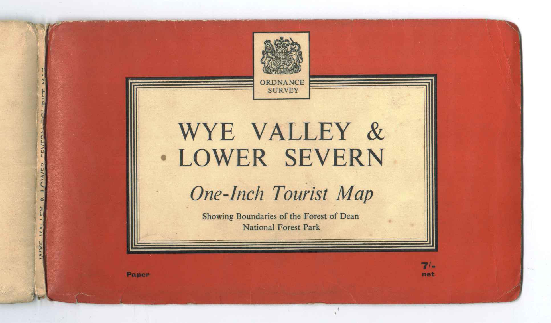 | All 9 Tourist maps from the late 50s and early 60s in red & black line landscape H100 covers. These include the 8 one inch maps and one quarter inch of Wales and the Marches in blue (H100.2). There are two copies of North York Moors, one landscape and one portrait. All maps in good condition. £15 ex postage. |
| 5. | 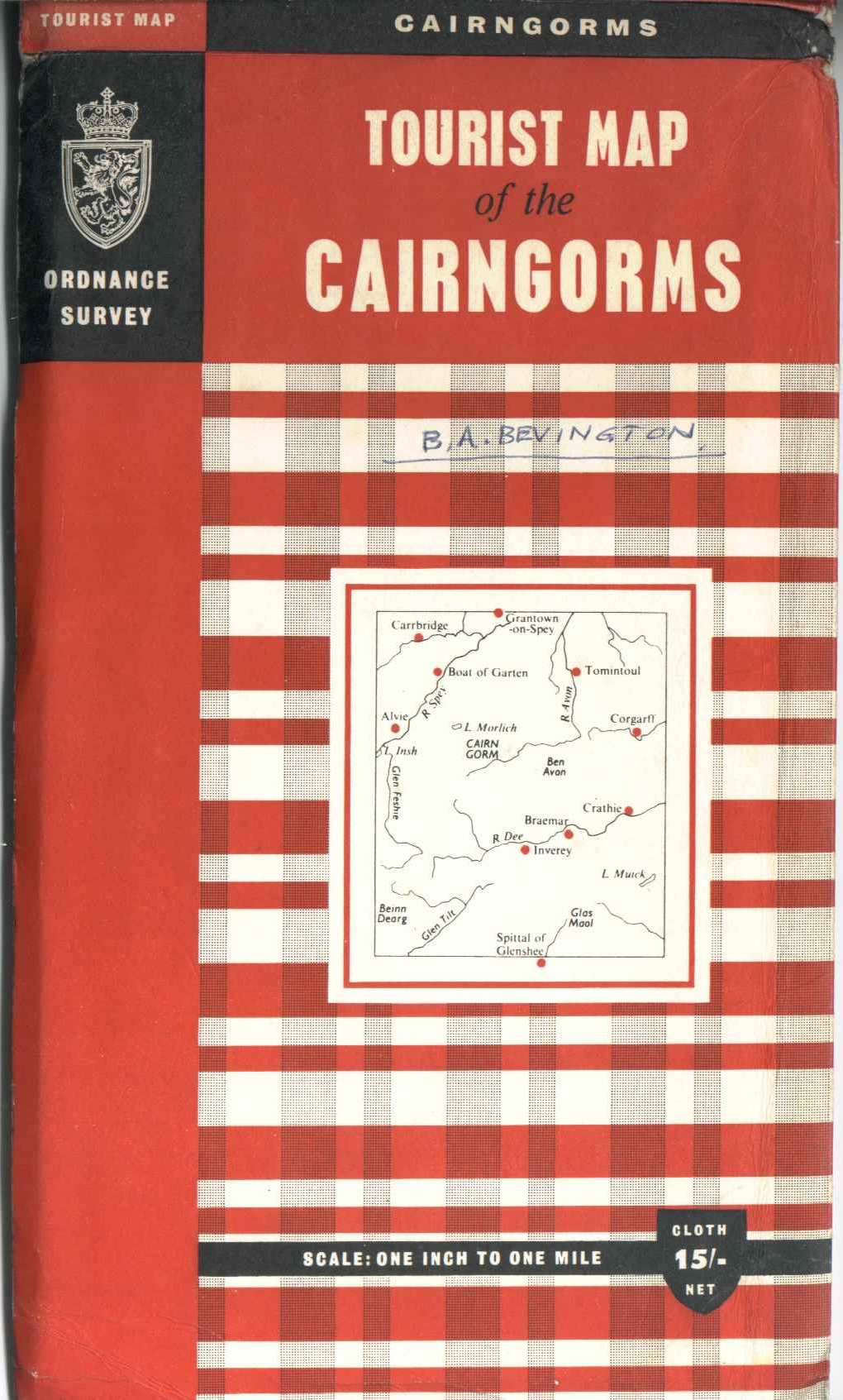 | This set is of 15 Tourist/District/Special maps from the middle 60s. These cover maps H109 to H126, minus H112, H113 and H115. Isles of Scilly (H109) is 1:25,000, Wales and the Marches (H111) is quarter-inch, Snowdonia (H118) is half-inch, Guernsey (H119) is 1:21,120, the rest are one-inch. All on paper in good condition, The Cambridge map (H114) cover has a tear to the cover. £15 ex postage. |
| 6. | 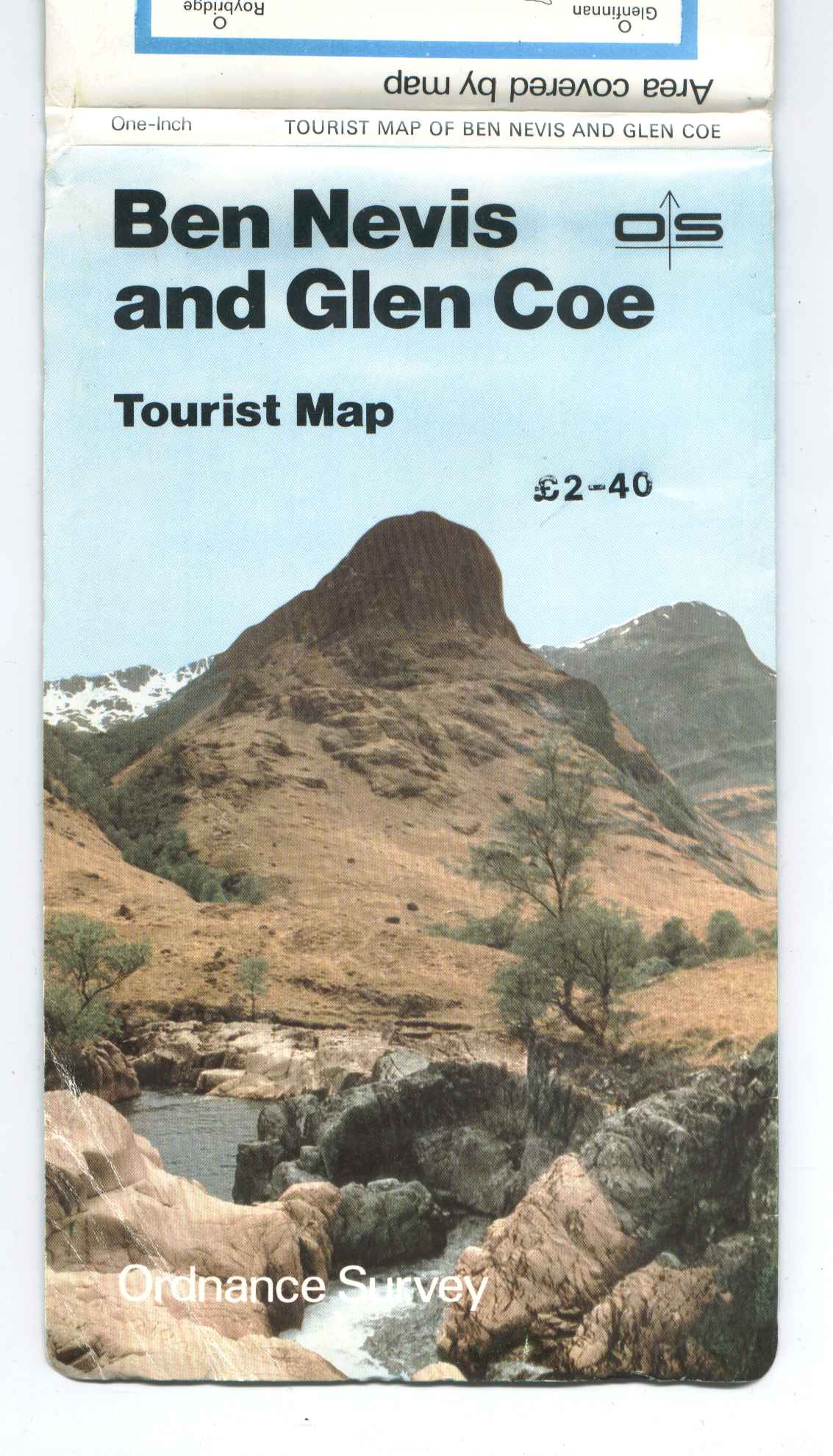 | All 11 Tourist maps from the early 80s in H405 covers. Snowdonia is at half-inch to the mile, The Broads at 1:50,000, all the rest are at one-inch. All on paper with benderfold covers in good condition. £10 ex postage. |
| 7. | 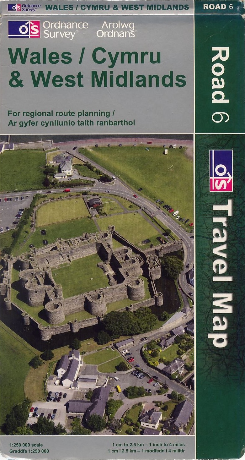 | All 8 sheets of the quarter inch 1:250,000 Road maps in green H442.5 covers, circa 2009. All in good condition. £10 ex postage. |
If you are interested in any of the sets or have any questions, please Ashley Lawrence by email and to gain a postage cost or arrange pick-up.
FOR SALE, ONE INCH 7TH SERIES MAPS (added 1st August 2025)
A member has a 167 sheet collection of one inch 7th series maps for sale, which he is open to offers for individuals sheets. Listed for download here, 7 are mounted on cloth, the rest on paper. The member has indicated the year of revision, ignoring the copyright dates, as sheets are often reprinted with minor changes with no revision of the copyright date. He's also indicated the particular edition (by letter) of each sheet, the 'slash' (solidus) symbol represents the triple underline.
If you are interested in any of the maps please contact Andrew Kafel by email directly to discuss prices, conditions and arrangements.