
FORWARD TO NEXT SECTION: Miscellaneous maps published before the Second World War
Reference numbers in square brackets and artists' initials are explained here
67 Cleeve Hill, Glos. EM The Cotswolds [(Relief) Map], 1931 [published 1932] [8]
- [a] 111x185mm Hinged 7050/32. Special District (RELIEF) Price as H.66.[a]
- [b] 100/37 Brown panels. Price as H.66.[b]
- [c] 117x195mm Benderfold 100/37 Cream background, title on spine.


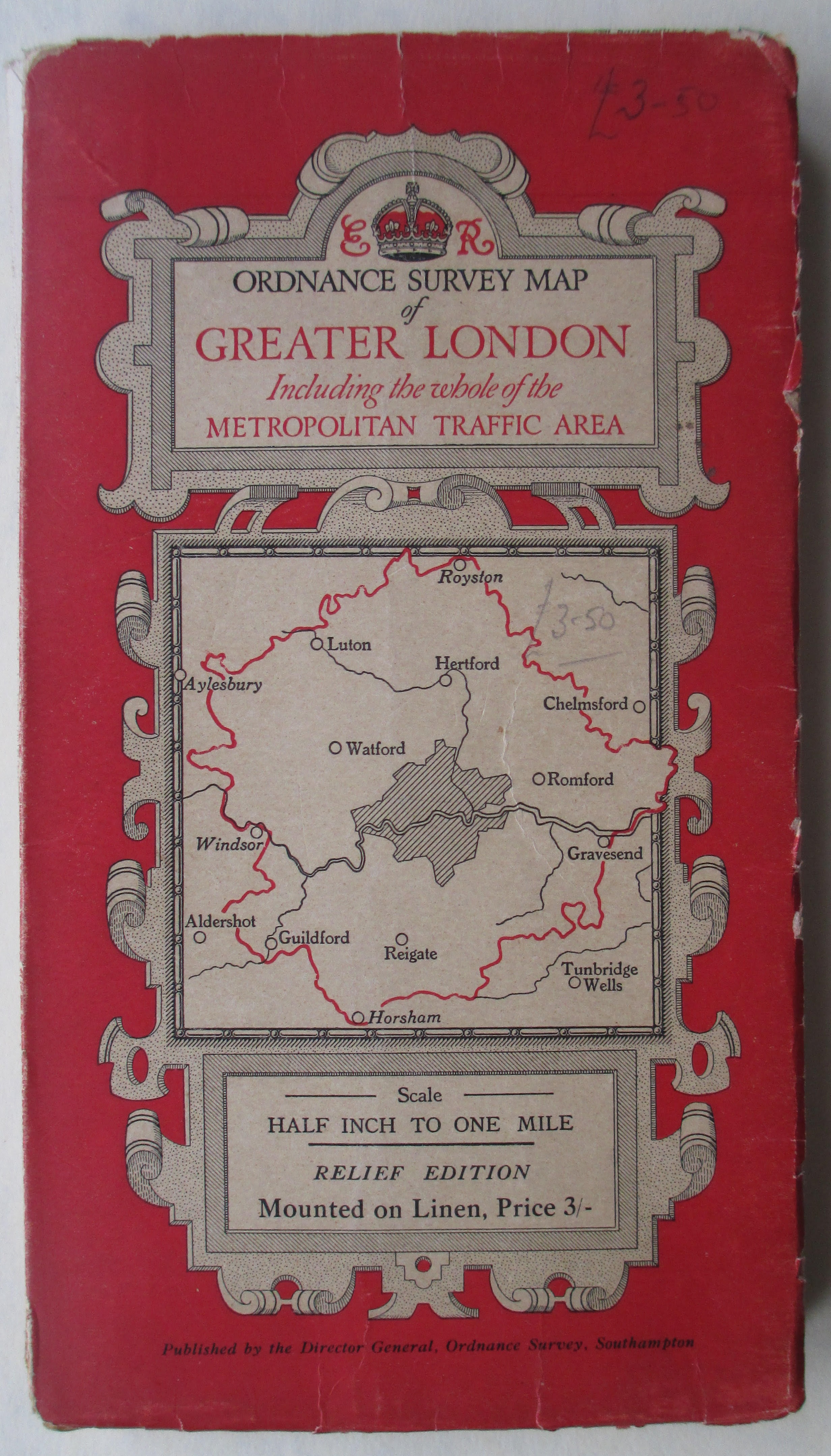
68 London area diagram ? Greater London [(Relief) Map], 1935 [7]
- [a]118x195mm Hinged 5035. "Mounted on Linen" Special District(RELIEF) Map
- [b] 116x209mm. 5035. G altered to E.
- [c] 118x210mm Hinged 30046. (Paper)
- [d] 122x211mm Hinged 30046. (Cloth) Different layout in Scale/Price box
- . [e]123x213mm Hinged 30046. No Monarch's initials.


69 London area pictorial diagram ? ?Unused design for Greater London entitled The Metropolitan Traffic Area
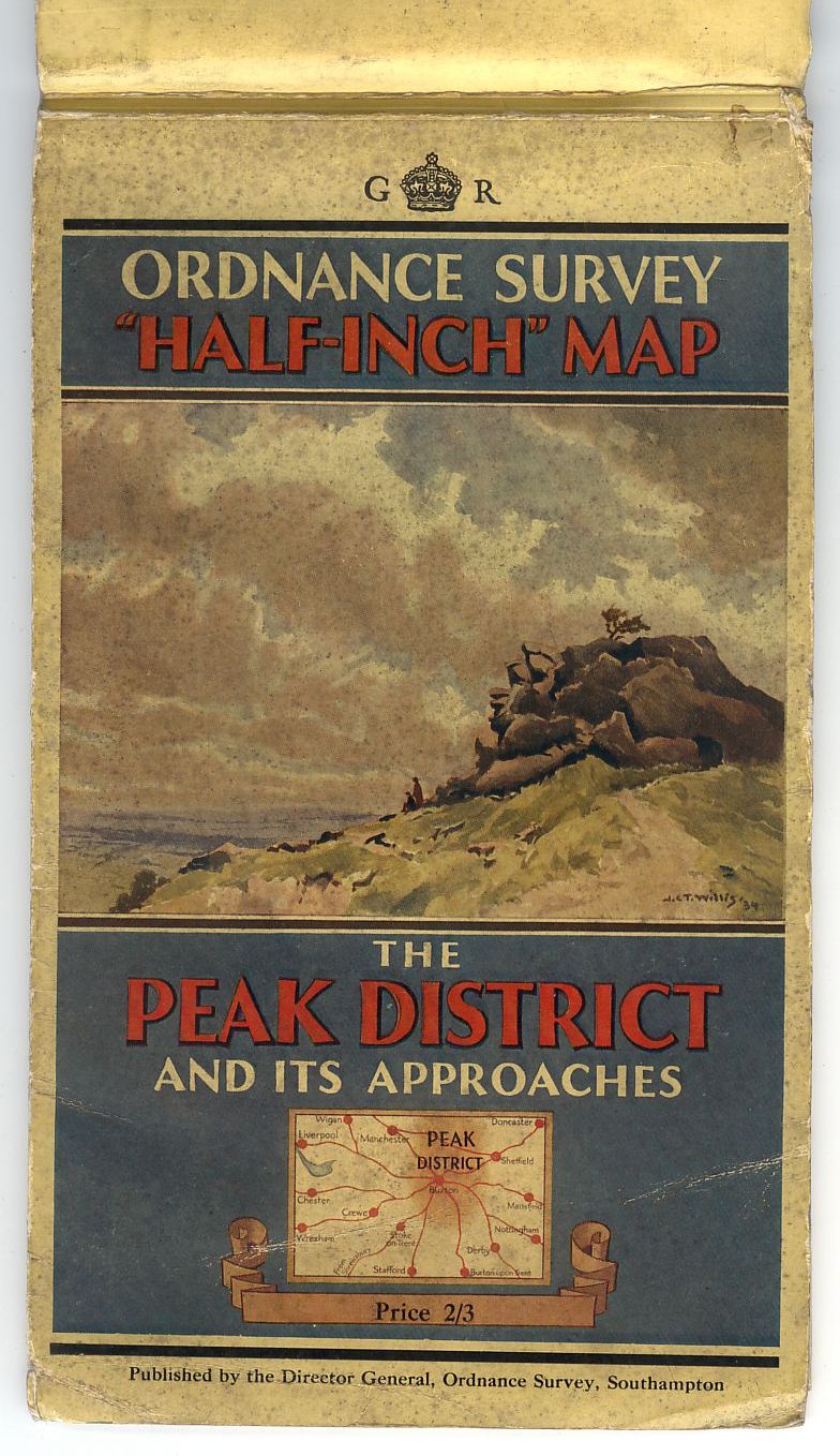
70 Rock outcrop and view west JCTW The Peak District, 1936 [8]
- [a] 109x204mm Hinged 8036. See Richard Dean’s note in Sheetlines 6, p.14. "This map is printed on a new water-resisting paper. Give it hard usage. It will be exchanged free of charge for another copy on ordinary paper at any time within six months of purchase. Your comments on it will be appreciated by the Director General, Ordnance Survey, Southampton.
- [b] 110x204mm Hinged 8036 ER. Special District Map.
- [c] 109x209mm. 8036. No monach's initials or crown but "Price 2/3" is printed.
- [d] 111x211mm Hinged 10039. GR.
- [e] 123x206mm. Benderfold. 10039.


FORWARD TO NEXT SECTION: Miscellaneous maps published before the Second World War